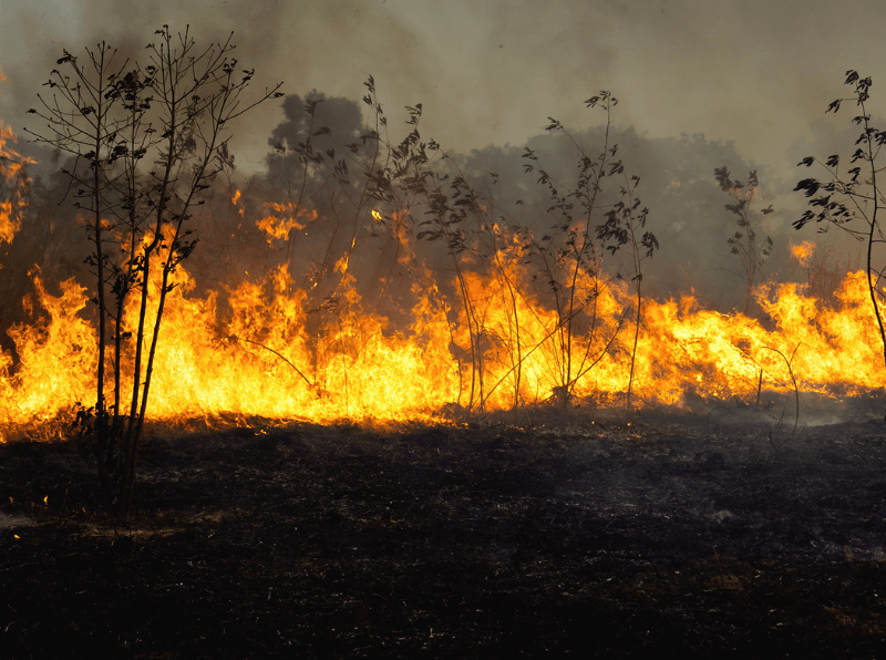
VHR Satellite Images for Wildfire Monitoring
High temperatures are breaking records, vegetation is drying up, and catastrophic wildfires are raging across Europe. Emergency responders are already turning to satellite imagery for fire monitoring and damage analysis – but few know its full potential. Near Real-Time (NRT) capabilities deliver critical images just 15 minutes after collection. Intraday imaging captures a fire as it develops throughout the day. And 8-band multispectral imagery lets responders see through haze, light fog, and other atmospheric conditions – including wildfire smoke itself.
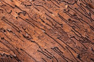
Detecting Bark Beetle Damage in Bulgaria
In recent years, large outbreaks of the European spruce spark beetle (Ips typographus) have wreaked havoc to coniferous forests. The timely prevention of the bark

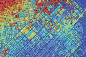
Remote Sensing of Mass Movements in the Bavarian Alps
Mass movement in the Alps pose enormous hazards. Due to a range of factors, it is predicted that the associated risks of these movements will
European Space Imaging Renews Contract With Maxar Technologies To Provide Europe With The World’s Best Resolution Commercial Satellite Imagery
European Space Imaging and Space Imaging Middle East have extended their ongoing contract with Maxar Technologies, provider of comprehensive space solutions and secure, precise, geospatial
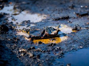
Increasing Situational Awareness of Conflict Linked Oil Pollution with VHR Satellite Imagery
Very High Resolution (VHR) satellite imagery is often used as a source of truth to verify what is happening on the ground in hard to

Combing VHR Satellite Imagery and Deep Learning to Detect Landfills
Satellite imagery and remote sensing has been used extensively for monitoring land usage and land cover. With increasing availability of Very High Resolution (VHR) satellite
Expanding Product Offering: AW3D
European Space Imaging is expanding our elevation product offering with the addition of AW3D, a highly accurate set of Digital Elevation Models with global coverage.

Mapping Methane with VHR SWIR Imagery
Methane is the second most important greenhouse gas and its concentration in the atmosphere is currently increasing at a rate of around 1% per year.

SUEZ CANAL, EGYPT: Satellite Images Show Stuck Container Ship
At 400 m long and 59 m wide, a 200,000 tonne container ship has been blocking the passage of other vessels in both directions along
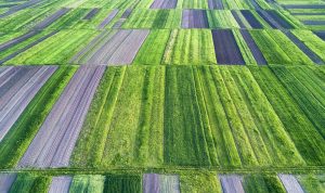
European Space Imaging Awarded €20.5 million Agriculture Framework Contract by European Commission
Leveraging their high success rate from previous years, European Space Imaging has been awarded a fourth multi-year agriculture framework contract to deliver an estimated 1.2

Heeding the Herd: Detecting Elephants from Above
VHR satellite imagery supplied by European Space Imaging to Isla Duporge, Lead Project Researcher from WildCRU at University of Oxford, has been combined with machine
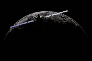
Satellogic successfully launches 10 new satellites expanding European Space Imaging’s satellite access portfolio
On Friday 6 November, Satellogic, the first company to develop a scalable Earth observation platform with the ability to remap the entire planet at both
Another year delivering 100% success rate to the European Commission’s CwRS Programme for European Space Imaging
Despite the challenges incurred from COVID-19 in 2020, European Space Imaging has once again finalised the collection of Very High Resolution (VHR) satellite imagery for


