


Satellite Imagery For
Architecture,
Engineering &
Construction
Insights to build better cities
Enhance Site Selection
Utilise cutting edge data to ensure optimal infrastructure building sites
manage assets
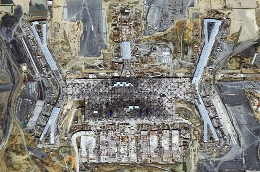
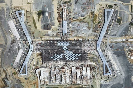
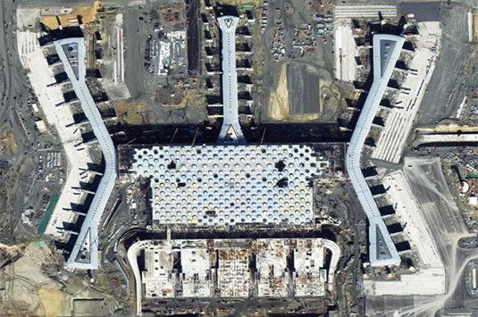
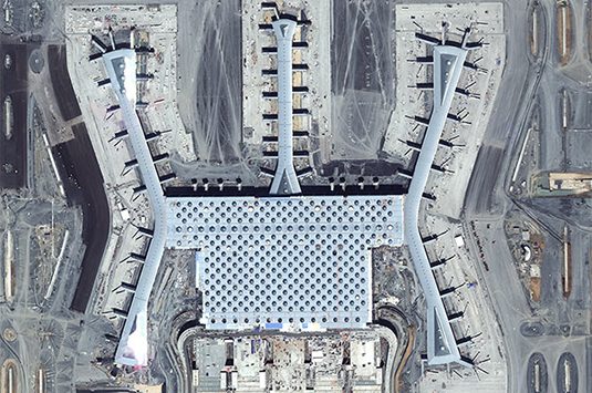
Remotely monitor heavy equipment, supplies and building progress
Monitor Compliance
Use unhindered satellite access to keep track of every detail of construction
As the construction industry faces challenges regarding new infrastructure demands and green building initiatives, Very High Resolution (VHR) satellite imagery becomes an essential tool. Satellite imagery not only compliments and enhances traditional in situ data, but opens the door for innovative techniques in large scale project planning, monitoring and impact evaluation applications.
EU climate initiatives push construction firms to use satellite imagery for infrastructure site selection
Read about this and more satellite imagery applications in the AEC INCITE industry report, The 123 Of AEC: Renewing the Architecture, Engineering and Construction Industry with Satellite Imagery
DETAILED ANALYSIS
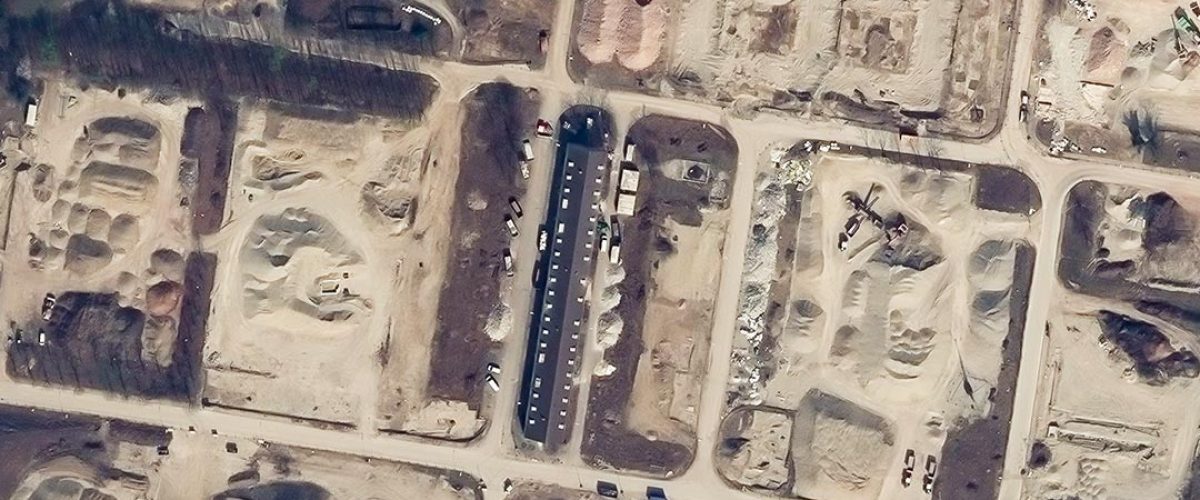
European Space Imaging provides the highest resolution satellite imagery commercially available. Imagery with this level of clarity allows analysts to see vehicle types, personnel activities, individual plants and building/infrastructure construction details. It’s perfect for:
- Equipment inventory
- Monitoring Projects
- Small Feature Identification
- Studying Traffic Patterns
- Verifying Property Lines
- Optimising on-site inspections
SITE MONITORING
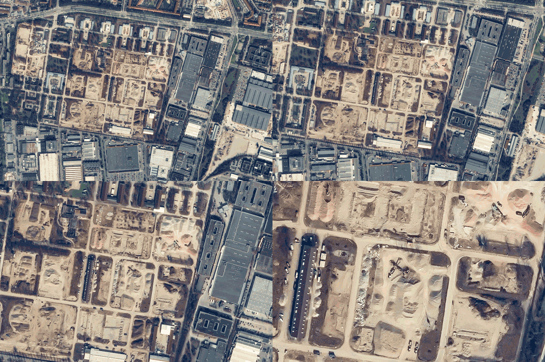
Satellites have no boundaries, no boarders and no restrictions like on-site or aerial inspections. Satellites can have a permanent and programmed focus on a single location over the course of months or even years. Coupled with high enough resolution to idenitify small objects, project managers can monitor and collect data on multiple sites around the globe from a desktop.
From a compliance perspective, having detailed daily or weekly images of ground activities can be used to prove what happened and when in the case of any legal disputes.


Learn More About
DIGITAL ELEVATION MODELS
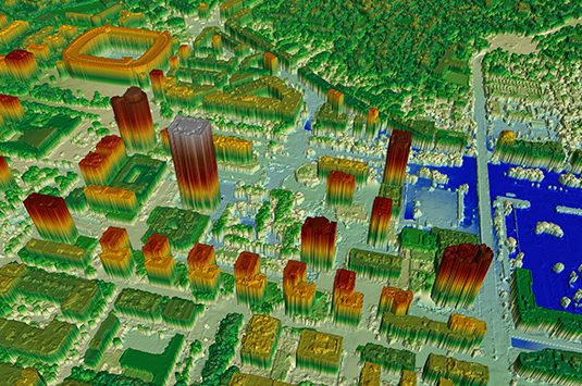
The measurement and visualisation of topography and existing structures is key in the pre-construction planning phase. The ability to accurately lay out temporary facilities and heavy equipment access in tight urban as well sprawling countryside project sites can greatly reduce unknown factors and prevent delays during the construction process.
Remotely sensed Digital Elevation models and 3D renderings can achieve usable levels of accuracy for many applications and cut costs as much as 30% when compared to ground surveys.
Download the Latest Edition of INCITE
The 123 Of AEC: Renewing the Architecture, Engineering and Construction Industry with Satellite Imagery
The definitive guide to acquiring and using satellite imagery in the AEC industry.

Earth Observation Turns Ecological Targets into Measurable Outcomes: How Satellite Imagery Supports Compliance with Europe’s Nature Restoration Regulation
The EU’s Nature Restoration Regulation (NRR) entered into force in 2024 and set legally binding targets to restore degraded ecosystems across Europe. With National Restoration Plans due in September 2026, Member States face an urgent question: how do you map, plan and monitor restoration across millions of hectares in a consistent, verifiable way? Earth Observation (EO) – and Very High Resolution (VHR) multispectral satellite imagery in particular – is increasingly the answer.

Maritime Domain Awareness in European Arctic Regions With VHR Satellite IntelligenceÂ
With the Arctic warming nearly four times faster than the average, the ice in the High North is melting and the sea is becoming increasingly navigable. In 2025 alone, 1812 vessels entered the Arctic Polar Code area, which is a 40% increase since 2013 when data collection began. While this rise in traffic presents potential commercial opportunities, more vessels also mean more risks to people and resources.
Seeing More in a Single Day: The Value of Intraday Satellite Collections
Imagine a convoy moves between 08:00 and 11:00. Or morning clouds clear by 14:00, revealing new activity. Or a structure appears at 09:30 that wasn’t visible at 07:00. If you’re working with once-daily satellite passes, you miss all of this. With intraday collections, you see it happen.




