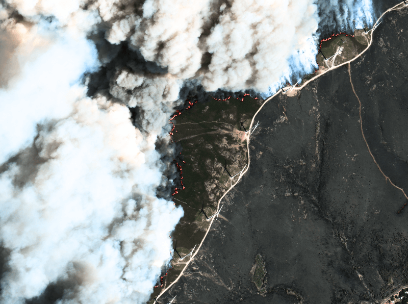
Seeing More in a Single Day: The Value of Intraday Satellite Collections
Imagine a convoy moves between 08:00 and 11:00. Or morning clouds clear by 14:00, revealing new activity. Or a structure appears at 09:30 that wasn’t visible at 07:00. If you’re working with once-daily satellite passes, you miss all of this. With intraday collections, you see it happen.

European Space Imaging Awarded Major European Commission Contract for CAP
European Space Imaging announced today that they have joined forces with e GEOS and DigitalGlobe to provide imagery and data processing services as part of

Ensuring Food, Farming, and Fairness
The Common Agricultural Policy (CAP) of the European Union is in place to ensure a fair standard of living for farmers through subsidies and other

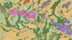
Habitat Preservation Using Satellite Imagery
The Hartibaciu Tableland encompasses about 2,500 square kilometers in central Romania and is home to many rare species of birds, flora, and fauna. It is
Satellite Mapping Enables UNHCR to Help Sudanese Refugees
The ongoing civil conflict in Sudan has left the country home to one of the world’s most serious refugee problems with more than 2.5 million

Greek History Protected by Historic Data
Known widely as the Cradle of Civilization and the Birthplace of Democracy, the history and legacy of Greece is unrivaled. From Thessaloniki in the north,

Satellite Imagery Brings Malawians Clean Water
Malawi, located in southeast Africa, is one of the world’s most impoverished and least developed countries. Its capital city, Lilongwe, with a population nearing 800,000,

Staying Green: Madrid’s Urban Monitoring
In cities around the world highways are being torn down so waterfronts can be reclaimed for public use. For many decades, cities have focused on

European Space Imaging Completes EU Commission Campaign in Record Time
European Space Imaging has successfully completed another year’s CwRS campaign in record time supplying almost cloud-free imagery well inside collection windows in keeping with their

European Space Imaging’s Optical Satellite Services Help Keep the Seas Safe and Clean
European Union agencies and member states tasked with monitoring Europe’s waters can now receive optical satellite imagery within one hour of collection using the near


