
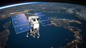
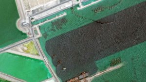
Earth Observation Turns Ecological Targets into Measurable Outcomes: How Satellite Imagery Supports Compliance with Europe’s Nature Restoration Regulation
The EU’s Nature Restoration Regulation (NRR) entered into force in 2024 and set legally binding targets to restore degraded ecosystems across Europe. With National Restoration Plans due in September 2026, Member States face an urgent question: how do you map, plan and monitor restoration across millions of hectares in a consistent, verifiable way? Earth Observation (EO) – and Very High Resolution (VHR) multispectral satellite imagery in particular – is increasingly the answer.

Seeing the Forest, and it’s Trees
Accounting for nearly three percent of Sweden’s Gross Domestic Product and over 12 percent of its exports, the forestry industry plays a significant role in
European Space Imaging Announces New Partnership With Vricon
European Space Imaging, Europe’s leading very high-resolution satellite imagery provider, has entered into an agreement with Vricon, the leader in high-accuracy 3D data and digital
WorldView-1 Successfully Changes Orbit
European Space Imaging customers now benefit from more imaging access windows over Europe due to WorldView-1’s orbit change. WorldView-1 now moves in an afternoon orbit
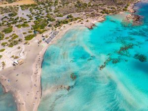
Spots from Space: Fair Access to Greek Beaches
Greece has the longest tourist coastline in Europe, and its beaches are the property of all citizens. Each summer, coastal municipalities grant permits for hotels

Optimising Wine With Data From Space
The Remote Sensing Laboratory at the National Technical University of Athens, Greece, successfully correlated vegetation indices derived from pansharpened multispectral WorldView-2 data with ground-based measurements
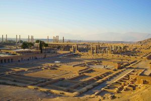
How Satellite Imagery Helps Protect UNESCO World Heritage Sites
When the Islamic State (IS) was rumored in the media to have destroyed two cultural heritage sites in Iraq – Hatra and Nimrud – officials

European Space Imaging Wins Additional Supply Contract to European Commission
The Munich-based company has been awarded another major supply contract for VHR satellite data and services to support checks within the EU Common Agricultural Policy

Mt Etna’s Volcanic Plumes Imaged by WorldView-2 Satellite
WorldView-2 satellite captured the fumarole plumes of smoke and gas that continue to spout from the crater shortly after the eruption on 3 December. The
European Space Imaging Delivers 100% Success For CwRS 2015
European Space Imaging completed the 2015 Controls with Remote Sensing (CwRS) program for the European Commission (EC) with 100 % success rate. The Munich-based company

MEP Sees Growing Responsibilities for High-Precision Satellite Observation Technology
Dr. Angelika Niebler visits European Space Imaging. Europe’s leading provider of high-resolution satellite imagery received a visit last Tuesday from Dr. Angelika Niebler, Member of
Satellite Imagery Keeps Port Construction on Track
The New Port Project (NPP) in the State of Qatar is one of the world’s most ambitious Greenfield port developments. A true megaproject, the four-year

IKONOS Decommissioned
IKONOS outlived many of its younger siblings but today it is time to say goodbye. After 15-plus years of successful service, DigitalGlobe made the decision


