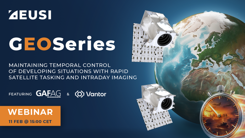
GEOSeries: Maintaining Temporal Control of Developing Situations With Rapid Satellite Tasking and Intraday Imaging
In the fast-moving operational environments of security monitoring and emergency response, the value of satellite data is defined by when it arrives, not just its resolution or accuracy. This webinar explores how Dynamic Tasking enables users to access actionable data fast and operate within mission decision windows.

On Demand Satellite Imagery Access with Maxar SecureWatch
A SecureWatch subscription gives you instant access to the best satellite imagery and geospatial data via web browser or API integration; and you don’t have
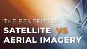
Satellite vs Aerial Imagery: Which To Use And How To Combine Them
Satellite vs Aerial Imagery: Which To Use And How To Combine Them Remote sensing projects can often begin with the question “Should I use aerial
AI Chain from Geo4i
AI Chain from Geo4i The AI Chain from Geo4i is a GEOINT & IMINT API environment for the automatic detection of generic objects in satellite

Leveraging Artificial Intelligence To Create Global HD Vector Maps
Ecopia Global Feature Extraction (GFX) Powered by European Space Imaging is a unique partnership that utilises the freshest, highest quality satellite imagery along with the

The Rise of Elevation Data – What is a DEM and Which Solution is Best for You?
The world exists in three dimensions and often, so does satellite imagery. But with so many types of Digital Elevation Models, each created via different

Satellite Imagery Saving Lives in Conflict Zones
From locating and disarming landmines to combating illegal mining, monitoring armed conflict, mapping internally displaced populations and subsequent camps as well as tracking oil pollution
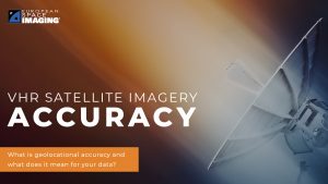
Satellite Image Accuracy – What is geolocational accuracy and what does it mean for your data?
Satellite imagery has revolutionised industries, all around the world. The resolution and clarity of these images keeps increasing and because of that, it is important

NOW YOU SEE: High Frequency Collection, Rapid Revisits & Unique Datasets
The first episode aired on Thursday 18 March 2021 and was moderated by Aravind Ravichandran, Founder of TerraWatch Space. He was joined by Thomas VanMatre,
Leveraging Artificial Intelligence To Create Global HD Vector Maps
Ecopia Global Feature Extraction (GFX) Powered by European Space Imaging is a unique partnership that utilises the freshest, highest quality satellite imagery along with the
Satellite Imagery Saving Lives in Conflict Zones
From locating and disarming landmines to combating illegal mining, monitoring armed conflict, mapping internally displaced populations and subsequent camps as well as tracking oil pollution
NOW YOU SEE: High Frequency Collection, Rapid Revisits & Unique Datasets
The first episode aired on Thursday 18 March 2021 and was moderated by Aravind Ravichandran, Founder of TerraWatch Space. He was joined by Thomas VanMatre,


