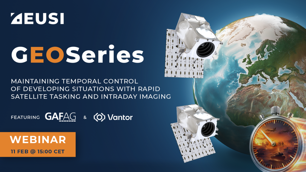
GEOSeries: Maintaining Temporal Control of Developing Situations With Rapid Satellite Tasking and Intraday Imaging
In the fast-moving operational environments of security monitoring and emergency response, the value of satellite data is defined by when it arrives, not just its resolution or accuracy. This webinar explores how Dynamic Tasking enables users to access actionable data fast and operate within mission decision windows.
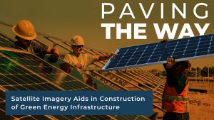
Paving the Way: How Satellite Imagery Aids Construction of Renewable Energy Infrastructure
The European Green Deal has created a massive need for new energy infrastructure. With so many concurrent projects, construction firms are turning to satellite imagery
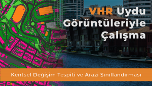
(Turkish) VHR Uydu Görüntüleriyle ÇalışmaKentsel Değişim Tespiti ve Arazi Sınıflandırması
Şehir planlamasında sonuçlarınızı iyileştirmek ve projeleriniz için en uygun verilere nasıl kolayca erişebileceğinizi öğrenmek mi istiyorsunuz? More Videos
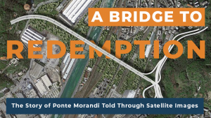
The Bridge to Redemption: Satellite Imagery Tells the story of the Collapse and Reconstruction of the Ponte Morandi in Genoa, Italy
August 14, 2018, Ponte Morandi in Genoa, Italy collapsed killing 43 people. Through the lense of satellite imagery we look at the history, the collapse
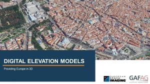
RapidDEM – 5 satellite images in a single pass
We partnered with GAF AG for this innovative technique using five satellite image collections from different angles in a single pass in order to rapidly
(German Speaking) Vom Multistereo zum hochaufgelösten Höhenmodell – Europa in 3D
Sehen Sie, wie European Space Imaging Multistereo Satellitenbilder mit einer Auflösung von 30cm aufnimmt und GAF AG daraus höchst genaue Höhenmodelle und 3D Visualisierungen kreiert.
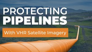
Protecting Utilities Corridors With Satellite Imagery
Using the highest resolution satellite imagery commercially available along with tailor-made Artificial Intelligence (AI) detection solutions, European Space Imaging offers asset managers the ability to
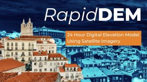
RapidDEM: Rapid Digital Elevation Model Using Satellite Imagery
European Space Imaging and GAF AG have combined forces to offer 30 cm resolution Digital Elevation Models (DEM) delivered within 24 hours after image collection.
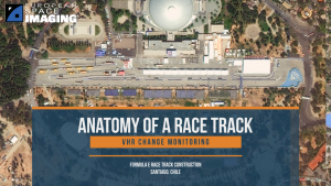
Race Track Construction with Satellite Imagery Remote Sensing
Using Very High Resolution satellite imagery taken several times over the short period of a Formula E race track construction, we are able to track


