


European Space Imaging and Airbus partner to provide EMSA with best-in-class satellite imagery service
The European Maritime Safety Agency (EMSA) has awarded European Space Imaging (EUSI) and Airbus a
Satellites Brochure
WorldView satellites and full sensor capacity offering from European Space Imaging.
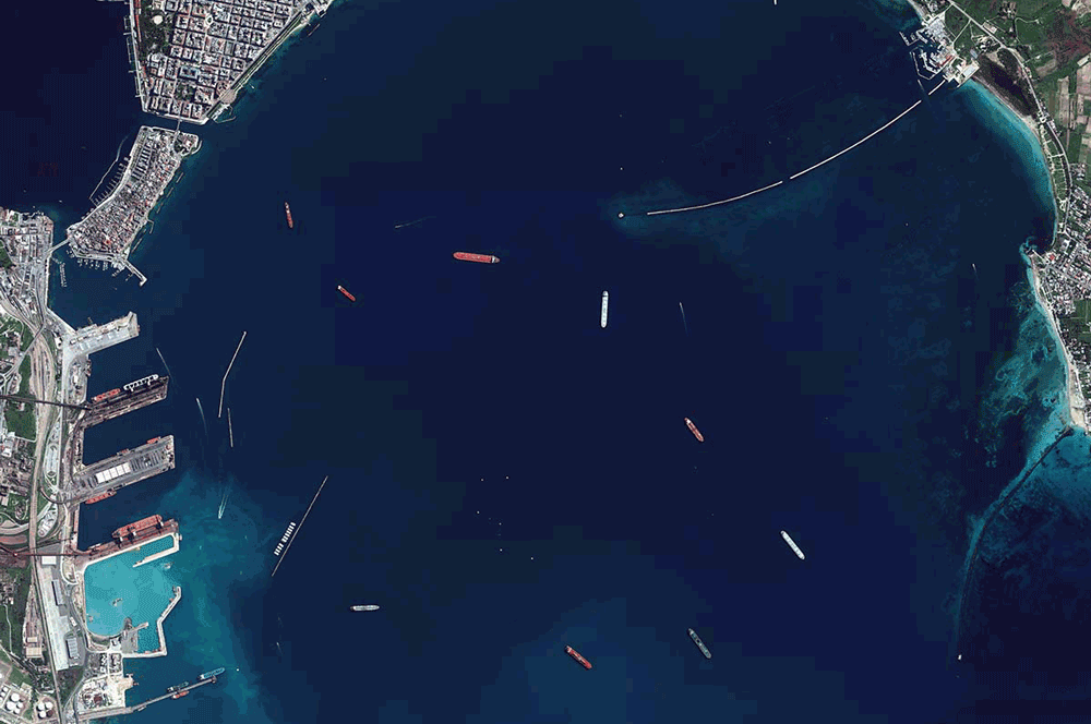
Increasing Situational Awareness of Conflict Linked Oil Pollution with VHR Satellite Imagery
Very High Resolution (VHR) satellite imagery is often used as a source of truth to


