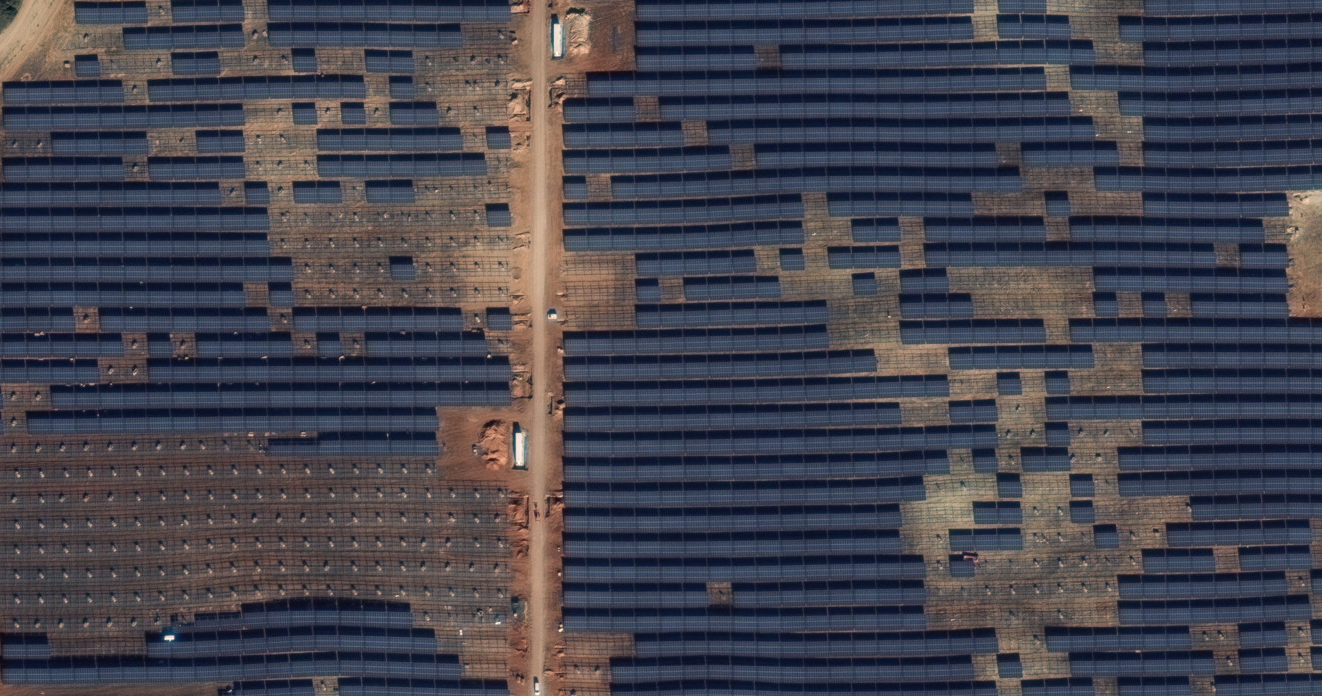


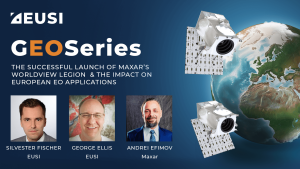
The Successful Launch of Maxar’s WorldView Legion and the Impact on European EO Applications
The first four long awaited WorldView Legion Satellites are now orbiting Earth. What does this mean for space-based remote sensing projects around Europe? In this webinar, EUSI is joined by representatives from Maxar Technologies. We discuss the unique technology within these satellites and how this significant increase in capacity of 8-band multispectral 30 cm class imagery is already poised to impact ongoing projects and increased demand across all sectors including Large Area Mapping, Security, Emergency Response, Agriculture and Research/Education.
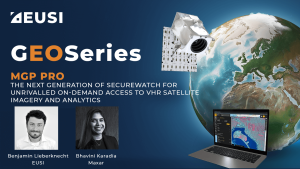
MGP Pro Demonstration
Instant access to VHR satellite imagery via web or API. European Space Imaging recently recorded a webinar in which they demonstrated all the functionality of
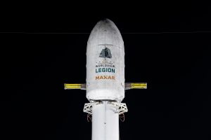
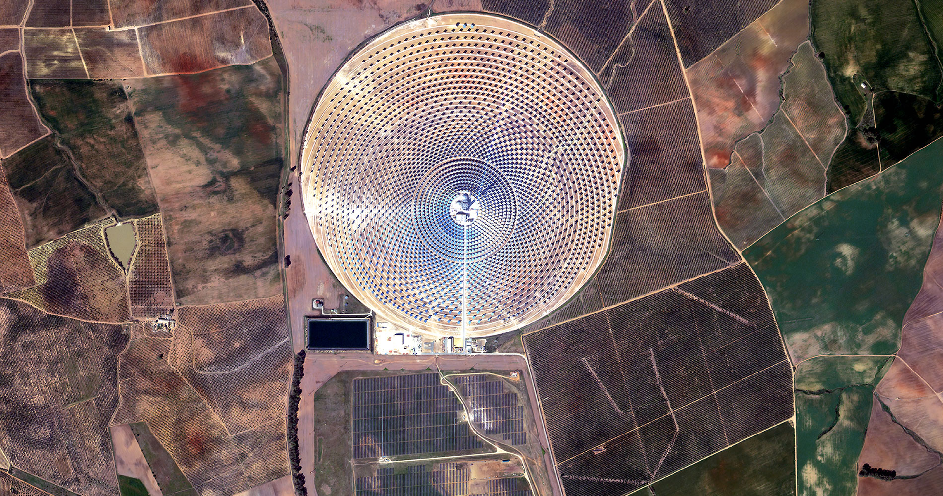
EUSI Will Soon Offer Intraday Monitoring Across Europe After Maxar’s Second Successful Launch of WorldView Legion Satellites
With the successful launch of Maxar Intelligence’s second set of WorldView Legion satellites, European Space Imaging (EUSI) will soon offer up to eight daily collection opportunities in key latitudes across Europe and North Africa – a number that will increase after the final WorldView Legion satellites are launched and all six satellites are operational.
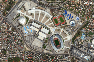
A Bird’s-Eye View: Olympic Stadiums of Europe from Space
The whole world is watching the Olympic Games in Paris with bated breath. But it’s not the first time the Summer Olympics have been held in Europe – 14 stadiums have been built across 10 countries, each of them unique and capturing the spirit of the cities that hosted them. Which one is your favourite?


