European Space Imaging Starts Distribution of WorldView-4 Satellite Imagery

A new ground station and a unique 30 cm satellite constellation enable unprecedented capabilities.

European Space Imaging announced today that the company has started operations of its new ground station with access to the entire satellite fleet of its WorldView Global Alliance partner DigitalGlobe. The Munich-based company is now in a unique position to directly task five very high resolution satellites (GeoEye-1, WorldView-1, WorldView-2, WorldView-3 and WorldView-4). This speeds up the whole process of planning, collection, data downlink and delivery and allows European Space Imaging to quickly deliver satellite imagery products to WorldView Global Alliance customers in Europe, North Africa, CIS countries and the Middle East.

WorldView-4, the latest addition to the DigitalGlobe satellite fleet, joins WorldView-3 as the second commercial 30 cm optical sensor in a 617 km orbit. Both most technologically advanced satellites offer true 30 cm panchromatic, combined with four 1.24 m multispectral resolution and an accuracy of 4 m CE90 at nadir. These characteristics make WorldView-4 and WorldView-3 the perfect tandem for collecting large areas of 30 cm data very rapidly.

“The capabilities of our new ground station and the direct access to the entire DigitalGlobe satellite fleet start a new era in the availability of highest resolution imagery in Europe. It’s a major milestone especially in the 30 cm resolution class”, says Adrian Zevenbergen, Managing Director of European Space Imaging. “In 2017, we plan to collect more than two times the entire European land mass with the 30 cm satellite constellation alone.”

European Space Imaging has already started the supply of 30 cm WorldView-3 and WorldView-4 satellite imagery to its European key programs and the WorldView Global Alliance channel partners.

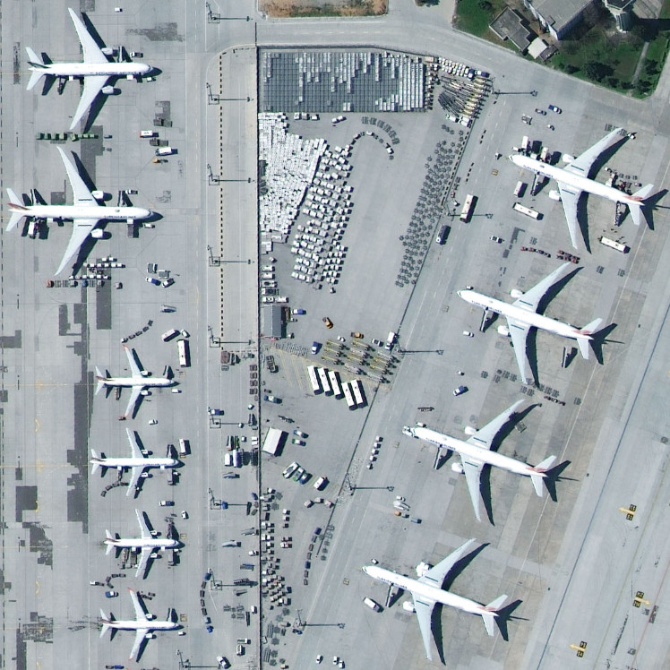
Istanbul Airport | Turkey | 29 March 2017 | WorldView-4

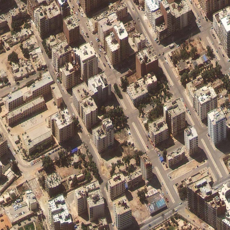
Marsa Matruh | Egypt | 29 March 2017 | WorldView-4

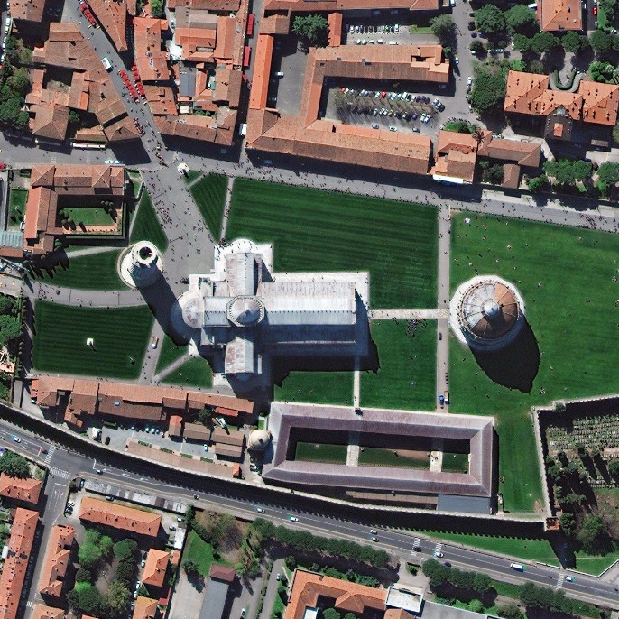
Pisa | Italy | 29 March 2017 | WorldView-4

Related Stories

Banner saying: "Webinar: Turning Satellite Data into Actionable Intelligence for Critical Energy Infrastructure"

GEOSeries: Turning Satellite Data into Actionable Intelligence for Critical Energy Infrastructure

See how satellite imagery can make critical infrastructure monitoring more frequent, targeted and efficient. Monitoring hundreds or thousands of kilometres of pipelines, power lines and other critical infrastructure traditionally requires extensive field inspections, vehicle patrols or aerial surveys. Satellite-based monitoring offers a different approach: regularly analysing large networks, identifying potential risks and directing teams to the locations that require attention.
Read More »
wildfire

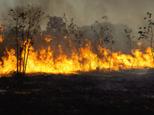
VHR Satellite Images for Wildfire Monitoring 

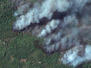
High temperatures are breaking records, vegetation is drying up, and catastrophic wildfires are raging across Europe. Emergency responders are already turning to satellite imagery for fire monitoring and damage analysis – but few know its full potential. Near Real-Time (NRT) capabilities deliver critical images just 15 minutes after collection. Intraday imaging captures a fire as it develops throughout the day. And 8-band multispectral imagery lets responders see through haze, light fog, and other atmospheric conditions – including wildfire smoke itself.
Read More »
Nature Restoration

Earth Observation Turns Ecological Targets into Measurable Outcomes: How Satellite Imagery Supports Compliance with Europe’s Nature Restoration Regulation

The EU’s Nature Restoration Regulation (NRR) entered into force in 2024 and set legally binding targets to restore degraded ecosystems across Europe. With National Restoration Plans due in September 2026, Member States face an urgent question: how do you map, plan and monitor restoration across millions of hectares in a consistent, verifiable way? Earth Observation (EO) – and Very High Resolution (VHR) multispectral satellite imagery in particular – is increasingly the answer.

Read More »