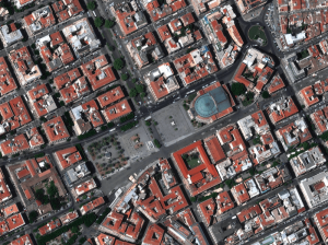
Beginner’s Guide to Satellite Imagery: 10 Terms You Need to Know
Satellite imagery is an amazing but highly technical field with terms that might be hard to understand, especially for somebody with expertise in a completely different area. That’s why we are explaining the basics of satellite imagery in this article. What’s geolocational accuracy? What is the ideal off nadir angle? How can you see through clouds? Let’s dive right in.
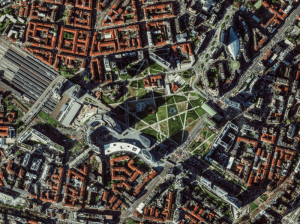
Europe’s Green and Digital Transformations with 25 Years of VHR Satellite Archive Data
Planning Europe’s future without knowing its past is impossible. The European Green Deal, Horizon Europe, the EU Biodiversity Strategy for 2030 and other policies all demand one thing: evidence. Not just today’s data, but years of history that show how our cities, forests, and coastlines have changed.
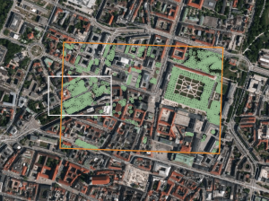
AI Uses 15 cm Satellite Images to Cut Costs and Increase Scalability in Forest Management and Urban Forestry
Forest managers across Europe face an impossible task: monitor millions of hectares with shrinking budgets while meeting increasingly strict EU environmental targets. But with the rise of AI and satellite technology, they now have new solutions at their disposal – smarter, cheaper, and more scalable – to monitor forest health, automate tree inventories, and plan sustainable logging. In this article, we introduce one of these solutions: an AI forestry algorithm developed by Arboair using 15 cm satellite data from EUSI.


