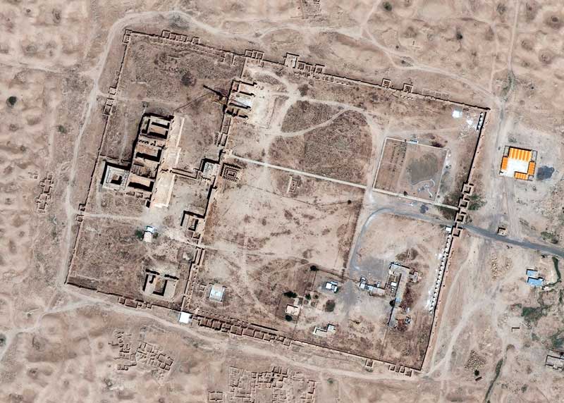
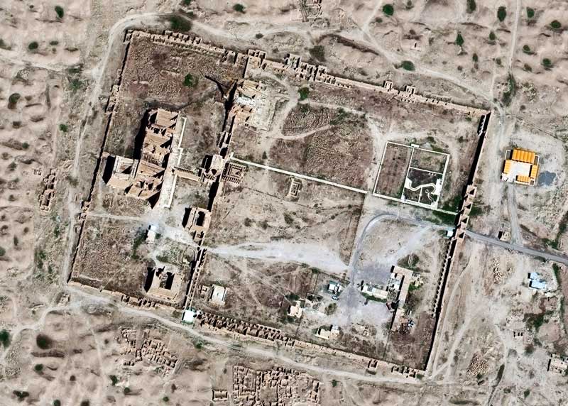
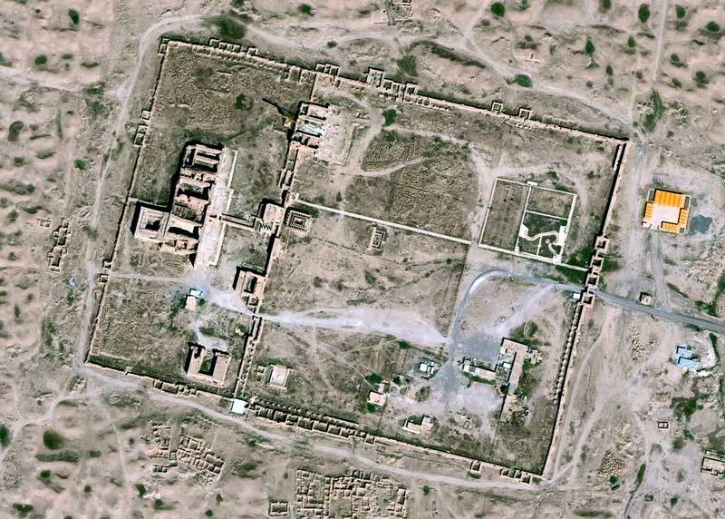
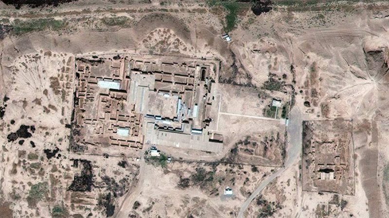
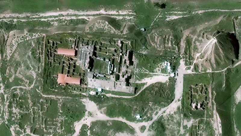
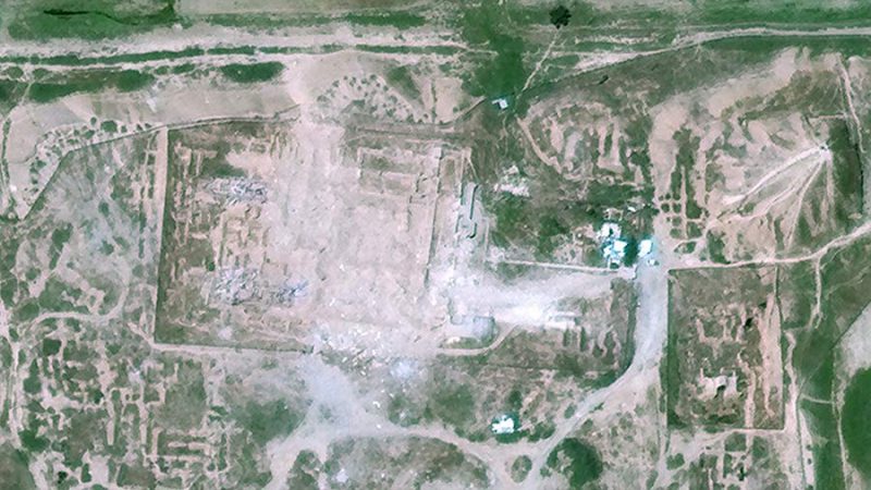
Maxar Intelligence Releases First Images from WorldView Legion as EUSI Prepares Munich Ground Station for European Downlink
Satellite Imagery © 2024 Maxar Technologies Provided by European Space Imaging Munich, Germany – Maxar Intelligence released the first images collected by the highly anticipated
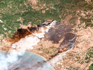
Satellite Imagery for Emergency Management
The use of satellite imagery for emergency response and management is invaluable. Both optical and SAR images help rescuers save lives when disasters happen, assist with damage assessments, and in many cases contribute to successfully preventing and predicting emergencies. Which events can be prevented? How exactly do first responders use satellite images? When are they better than other methods? We have summarised our 20+ years of experience in this article.
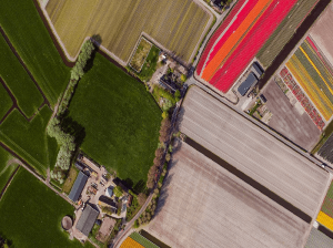
Satellite Imagery as a Valuable Tool for the New Common Agricultural Policy 2023–2027
On 1 January 2023, the new Common Agricultural Policy for years 2023–2027 entered into force. Hand in hand with the provided subsidies goes the necessity for monitoring and controls, which falls to the individual Member States. Therefore, an efficient, reliable, and cost-effective source of data is needed. Such source is Very High Resolution (VHR) satellite imagery. It allows you to conduct in-depth analysis of plant and soil conditions, map land use at wide scales with incredible detail and accuracy, and ensure that agricultural goals are being met.

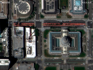
MGP Pro: The Next Generation of SecureWatch for On-demand Access to VHR Imagery
MGP Pro provides unrivalled coverage, quality and flexibility. Its subscribers can access over 3 million square kilometers of daily image collections, plus more than 6 billion sq km of archived imagery at up to 30 cm resolution.


