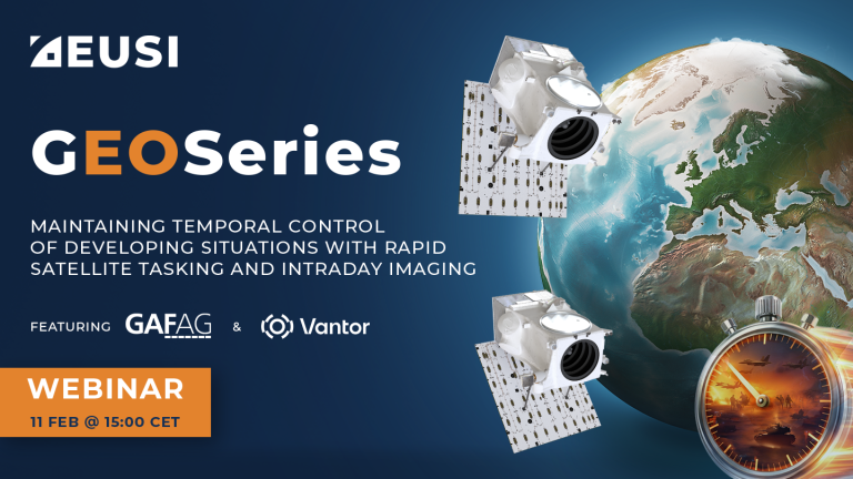
GEOSeries: Maintaining Temporal Control of Developing Situations With Rapid Satellite Tasking and Intraday Imaging
In the fast-moving operational environments of security monitoring and emergency response, the value of satellite data is defined by when it arrives, not just its resolution or accuracy. This webinar explores how Dynamic Tasking enables users to access actionable data fast and operate within mission decision windows.

GEOSeries: Extracting Insights From High Resolution SAR Imagery for Time-Sensitive Analysis
In this webinar, industry experts and advanced users of Umbra SAR data showcase how they transform SAR imagery into actionable insights in real-world mapping, monitoring and intelligence applications. See how NV5 and Umbra leverage ENVI SAR Essentials for advanced processing with time-efficient results, converting analytics into valuable intelligence.
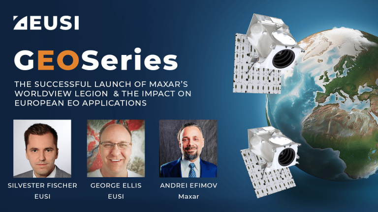
The Successful Launch of Maxar’s WorldView Legion and the Impact on European EO Applications
The first four long awaited WorldView Legion Satellites are now orbiting Earth. What does this mean for space-based remote sensing projects around Europe? In this webinar, EUSI is joined by representatives from Maxar Technologies. We discuss the unique technology within these satellites and how this significant increase in capacity of 8-band multispectral 30 cm class imagery is already poised to impact ongoing projects and increased demand across all sectors including Large Area Mapping, Security, Emergency Response, Agriculture and Research/Education.
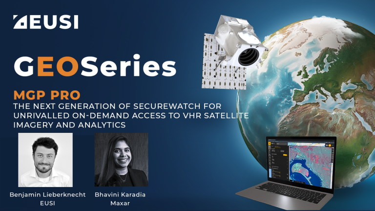
MGP Pro: The Next Generation of SecureWatch for On-demand Access to VHR Imagery
MGP Pro provides unrivalled coverage, quality and flexibility. Its subscribers can access over 3 million square kilometers of daily image collections, plus more than 6 billion sq km of archived imagery at up to 30 cm resolution.
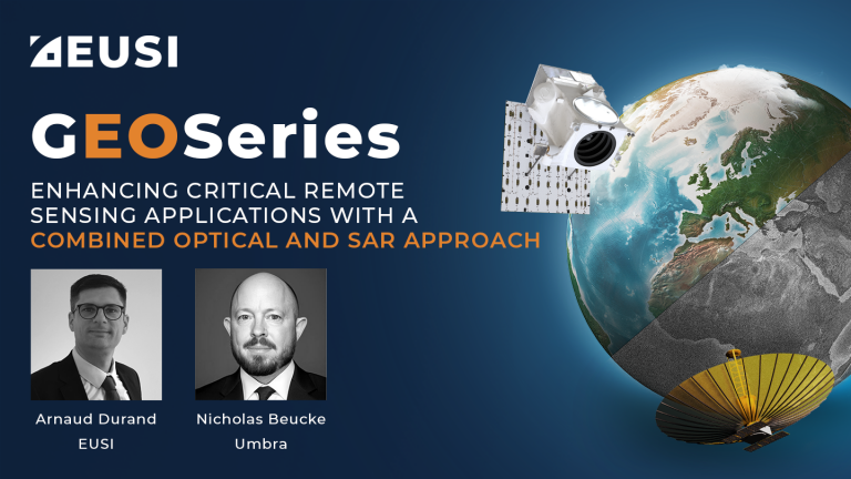
Enhancing Critical Applications With A Combined Optical and SAR Approach
For the first time in history, users can schedule synchronised collections of 25 cm SAR and 30 cm Near Real-Time optical imagery to mitigate weather and gain deeper insights of events unfolding on the ground. This is especially valuable for Emergency Response, GEOINT and other applications.
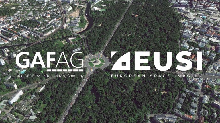
Berlin 30 cm DSM from GAF AG using Tri-Stereo Satellite Imagery from EUSI
This high quality 30 cm resolution Digital Surface Model (DSM) was created by GAF AG utilizing 30 cm Very High Resolution Tri-Stereo Satellite Imagery collected by European Space Imaging (EUSI). This model is part of EUSI’s initiative to map all major European metro areas in 3D on a yearly basis.


