


Satellite Imagery For
Agriculture &
Forestry
Optimising Crops With Precision imagery
Evaluate vegetation health
Valuable multispectral bands allow in-depth analysis of plant and soil conditions
Study Land
Use
VHR imagery gives you the power to map land use at wide scales with incredible detail and accuracy
Manage Food Security
Mapping crops and analysing harvests on regional scales ensures that agricultural goals are being maintained
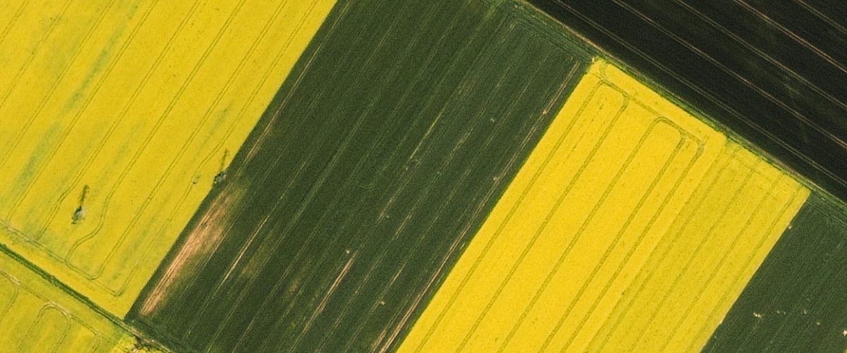
There is a strong requirement for monitoring forests and crops in order to tackle the present challenges within agriculture and forestry. Near real-time monitoring is crucial to react to extreme events – such as climate conditions or pest infestations – and thus minimize their impact, while also optimising management practices – such as precision agriculture – in a sustainable manner.
Very High Resolution (VHR) optical satellite imagery can be an essential tool to respond to threats against agriculture and forestry as it offers a non-destructive mean of proving recurrent information from both a local and global scale. European Space Imaging has particularly excelled at large collections in challenging weather conditions. Europe has a diverse climate with many regions blanketed in clouds for much of the year. The unique real-time weather monitoring by our operations team has ensured success for the most demanding projects.
Considerations for Member States who continue to operate CwRS On-the-Spot-Checks after 2023
Learn how Europe’s most trusted imagery provider to the CAP’s CwRS and LPIS QA programmes now offers tailored solutions and guidance to member states.
QUALITY CONTROL FOR MEMBER STATES
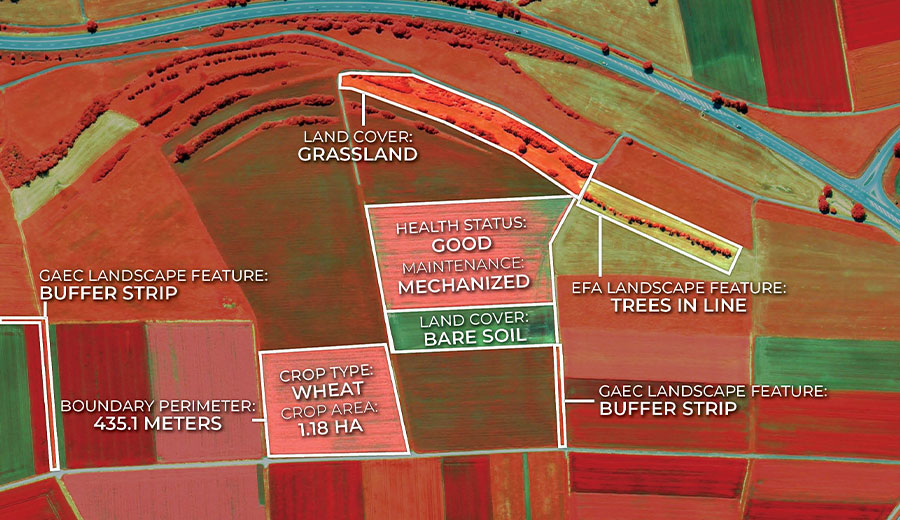
We have been the major satellite imagery provider to the Controls with Remote Sensing (CwRS) for the European Commission / Joint Research Centre since 2004. During this time, our data was relied upon by the Commission to determine the requirements for field boundaries and accurately identify crop classifications. From 2023, the responsibility to operate CwRS On-the-Spot-Checks will fall to the Member States. Our products and expertise can assist you with:
- Filling missing data gaps, particularly where small parcels (<0.2 ha) are concerned
- Data can be used for the quality control of the Sentinel based Area Monitoring System
- Cost effective and efficient solution to updating the national LPIS
- Guidance with definition of imagery requirements
- Feasibility studies to ensure that the imagery complies with JRC standards
- Assurance of check methods
MANAGE SUSTAINABILITY
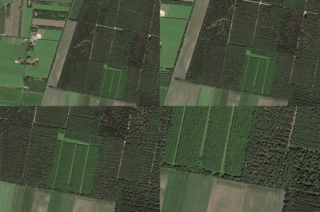
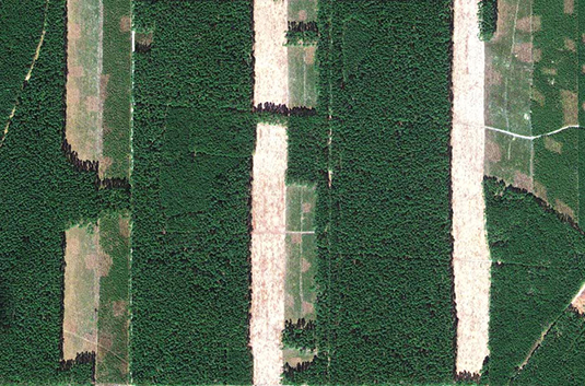
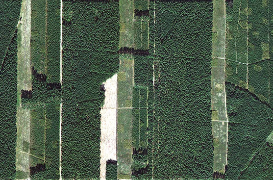
Very high resolution satellite imagery is detailed enough to show individual trees, which allows precise monitoring of forest and crop assets. It is ideal for:
- Detecting illegal logging
- Estimating the number of trees in a forest
- Calculating carbon stocks
- Identifying tree stress and pest infections
- Supporting firefighting efforts
- Protection of natural forests
PRECISION AGRICULTURE
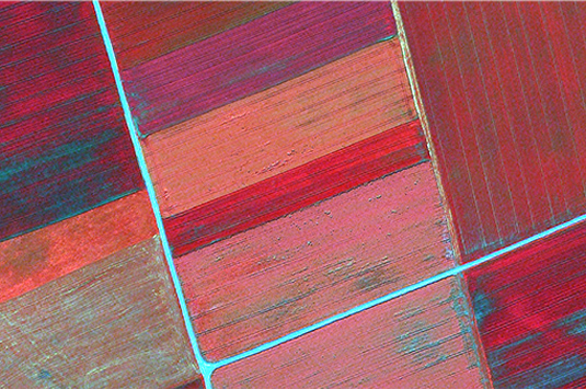
We offer more spectral diversity and better spatial resolution than any other satellite imagery provider – allowing you to see more of what is actually happening on your land. A near-infrared (NIR) image like this one shows the healthy vegetation as red, and is sensitive enough to discriminate between types of plants, their stage of maturity, and changes in plant health before they are visible to the human eye. This enables:
- Early warning of health problems
- Data for calculating yield
- Optimising harvest timing
- Monitoring of weeds, insect pests, or diseases
- Irrigation system planning and inspection
- Managing water resources and soil quality
RESPOND TO CHANGE
VHR satellite images can be used in software utilizing Artificial Intelligence (AI) to automatically detect and analyse changes over time. This rapidly growing technology offers “off-the-shelf” solutions for a number of applications including:
- Ensuring global food security
- Extracting trends in plant health and productivity
- Validating activity and compliance
- Localizing inputs such as fertilizer
- Smart and timely management decisions
Download the Latest Edition of INCITE
Seeing Through the Trees: Monitoring Agriculture and Forestry Using Satellite Imagery
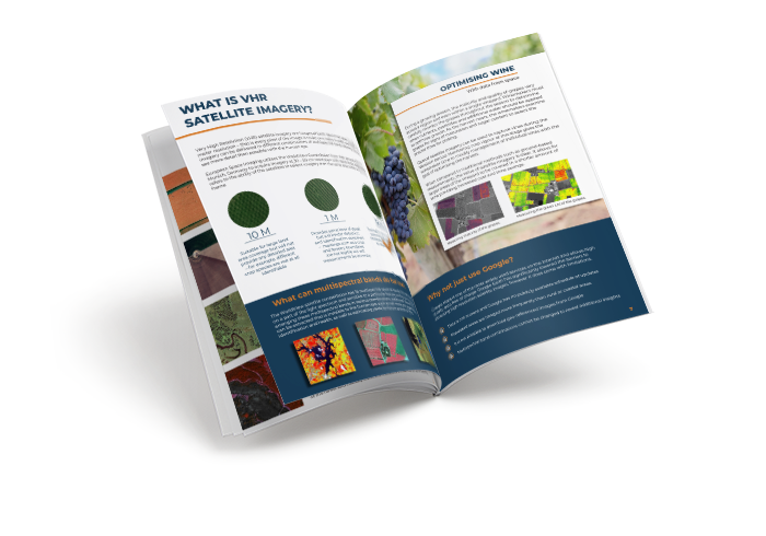
The definitive guide to acquiring and using satellite imagery in the agriculture & forestry industry.

VHR Satellite Images for Wildfire Monitoring
High temperatures are breaking records, vegetation is drying up, and catastrophic wildfires are raging across Europe. Emergency responders are already turning to satellite imagery for fire monitoring and damage analysis – but few know its full potential. Near Real-Time (NRT) capabilities deliver critical images just 15 minutes after collection. Intraday imaging captures a fire as it develops throughout the day. And 8-band multispectral imagery lets responders see through haze, light fog, and other atmospheric conditions – including wildfire smoke itself.

Earth Observation Turns Ecological Targets into Measurable Outcomes: How Satellite Imagery Supports Compliance with Europe’s Nature Restoration Regulation
The EU’s Nature Restoration Regulation (NRR) entered into force in 2024 and set legally binding targets to restore degraded ecosystems across Europe. With National Restoration Plans due in September 2026, Member States face an urgent question: how do you map, plan and monitor restoration across millions of hectares in a consistent, verifiable way? Earth Observation (EO) – and Very High Resolution (VHR) multispectral satellite imagery in particular – is increasingly the answer.


EUSI Upgrades German Ground Segment to Enable Europe’s Fastest Request-to-Receive Satellite Intelligence via Secure Web and API Platform for Defence and Emergency Agencies
European Space Imaging (EUSI) announced a major upgrade of its satellite ground segment and cloud infrastructure, further accelerating its industry-leading satellite tasking and intelligence delivery capabilities through the secure ATOM™ web and API platform. The platform, in combination with EUSI’s Rapid Satellite Intelligence (RSINT) program, enables satellite tasking up to 30 minutes before image acquisition and delivery of imagery within 15 minutes of collection.




