Satellite Images Of Flooding In Livorno, Italy
- European Space Imaging
- 15 September, 2017
Eight people have lost their lives in flooding caused by heavy rain on the 9th and 10th of September in the port city of Livorno.
Authorities issued an ‘orange’ alert before the flood, but a month’s worth of rainfall in just four hours led to much worse flooding than expected.
On the 13th of September European Space Imaging collected imagery using WorldView-2, a very high resolution satellite in the DigitalGlobe constellation. The images show muddy water sitting in industrial areas and parts of the countryside.
“Being able to assess the scale of flood damage using satellite data is very useful for emergency services and local authorities,” says Adrian Zevenbergen, Managing Director at European Space Imaging. “It can help them accurately assess the worst hit areas, allowing them to make decisions about where best to direct their resources.”
The flood comes after a summer in which Italy has been plagued by drought.
New satellite imagery obtained by European Space Imaging shows flooding in Livorno by WorldView-2 @ 50cm resolution
Satellite image of Livorno on 13th September by WorldView-2 @ 50cm resolution
Flooded fields by WorldView-2 @ 50cm resolution
The muddy river flowing into a turbulent Mediterranean by WorldView-2 @ 50cm resolution
Related Stories
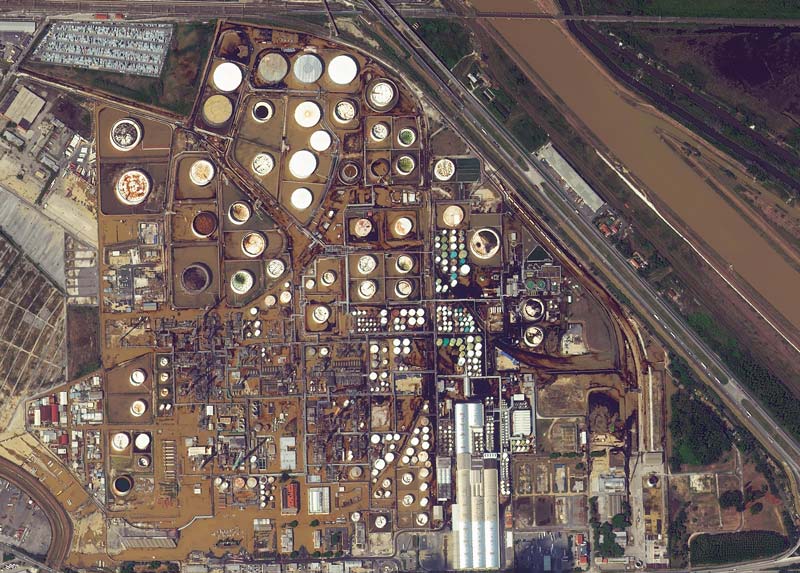
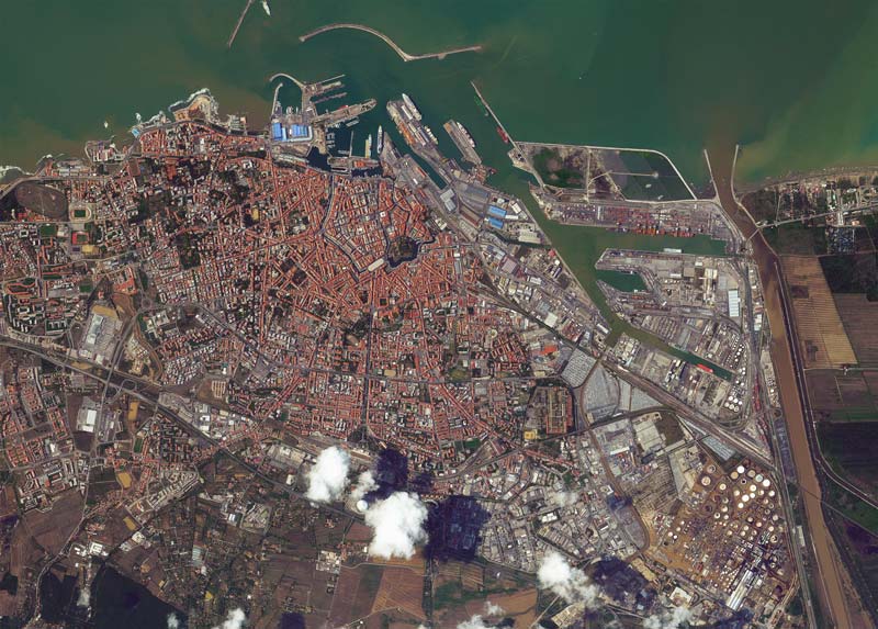
MGP Pro: The Next Generation of SecureWatch for On-demand Access to VHR Imagery
MGP Pro provides unrivalled coverage, quality and flexibility. Its subscribers can access over 3 million square kilometers of daily image collections, plus more than 6 billion sq km of archived imagery at up to 30 cm resolution.
What is SAR Imagery? Introduction to Synthetic Aperture Radar
SAR imagery enables all-weather monitoring, penetrates dry soil, and offers resolution as high as 25 cm. Thanks to that, it’s invaluable for applications like emergency response, defence and intelligence, or agriculture. How does SAR work? What are its advantages and limitations? And what other data sources can you integrate it with? Read the article to learn more.
Enhancing Critical Applications With A Combined Optical and SAR Approach
For the first time in history, users can schedule synchronised collections of 25 cm SAR and 30 cm Near Real-Time optical imagery to mitigate weather and gain deeper insights of events unfolding on the ground. This is especially valuable for Emergency Response, GEOINT and other applications.
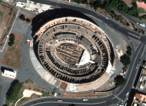
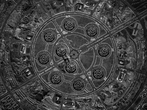
18 European Landmarks in Satellite Images
Satellite sensors captured unique architecture, breathtaking nature and centuries of history. Explore the Colloseum, La Sagrada Familia, the Leaning Tower of Pisa, and other landmarks.