

Maxar Intelligence Releases First Images from WorldView Legion as EUSI Prepares Munich Ground Station for European Downlink

Satellite Imagery © 2024 Maxar Technologies Provided by European Space Imaging

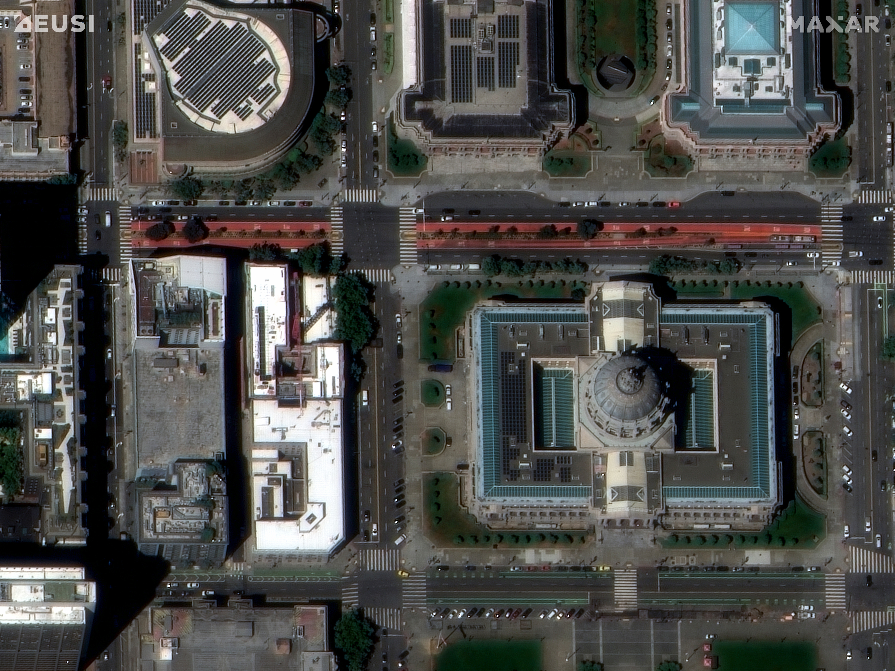
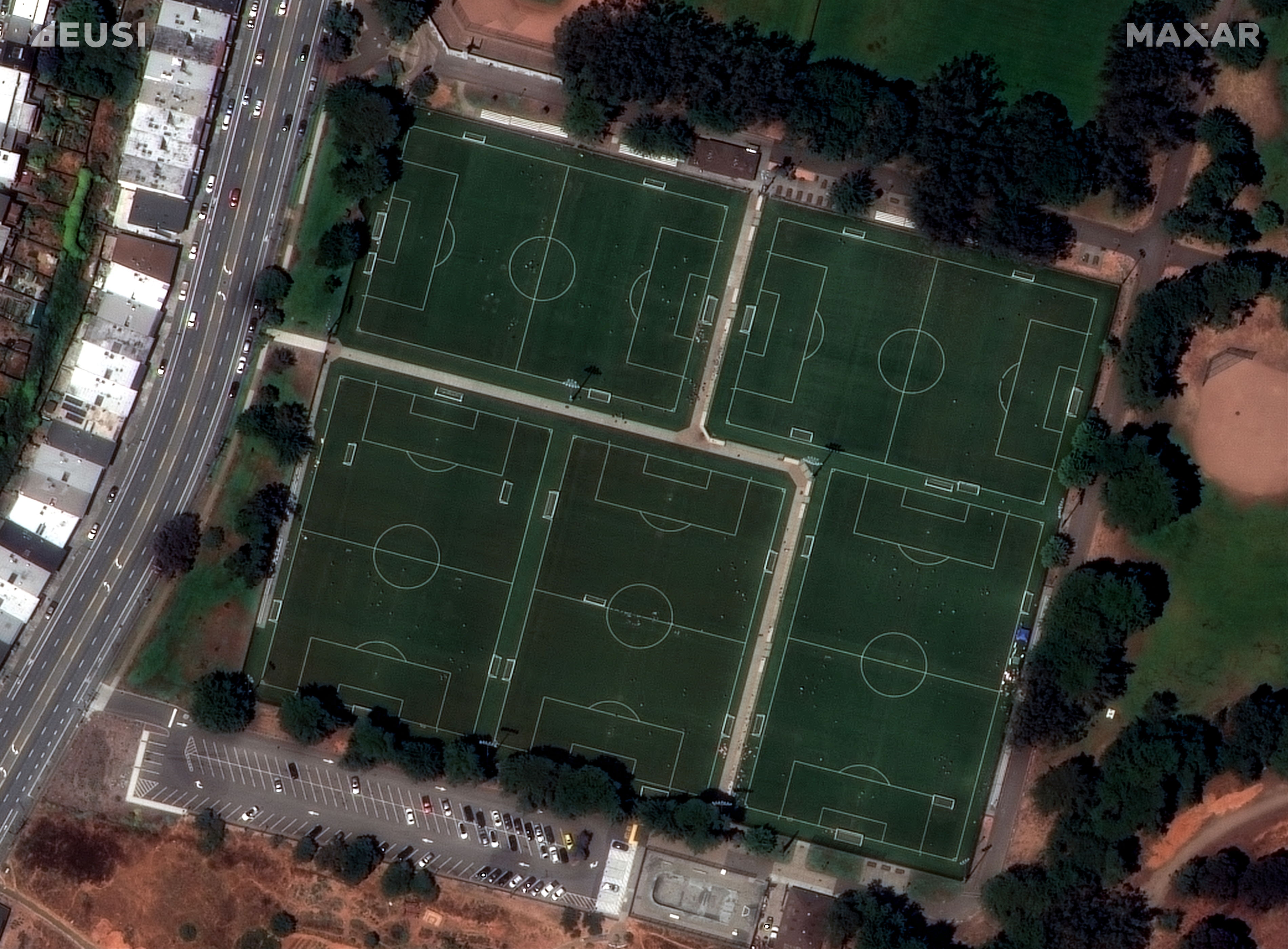
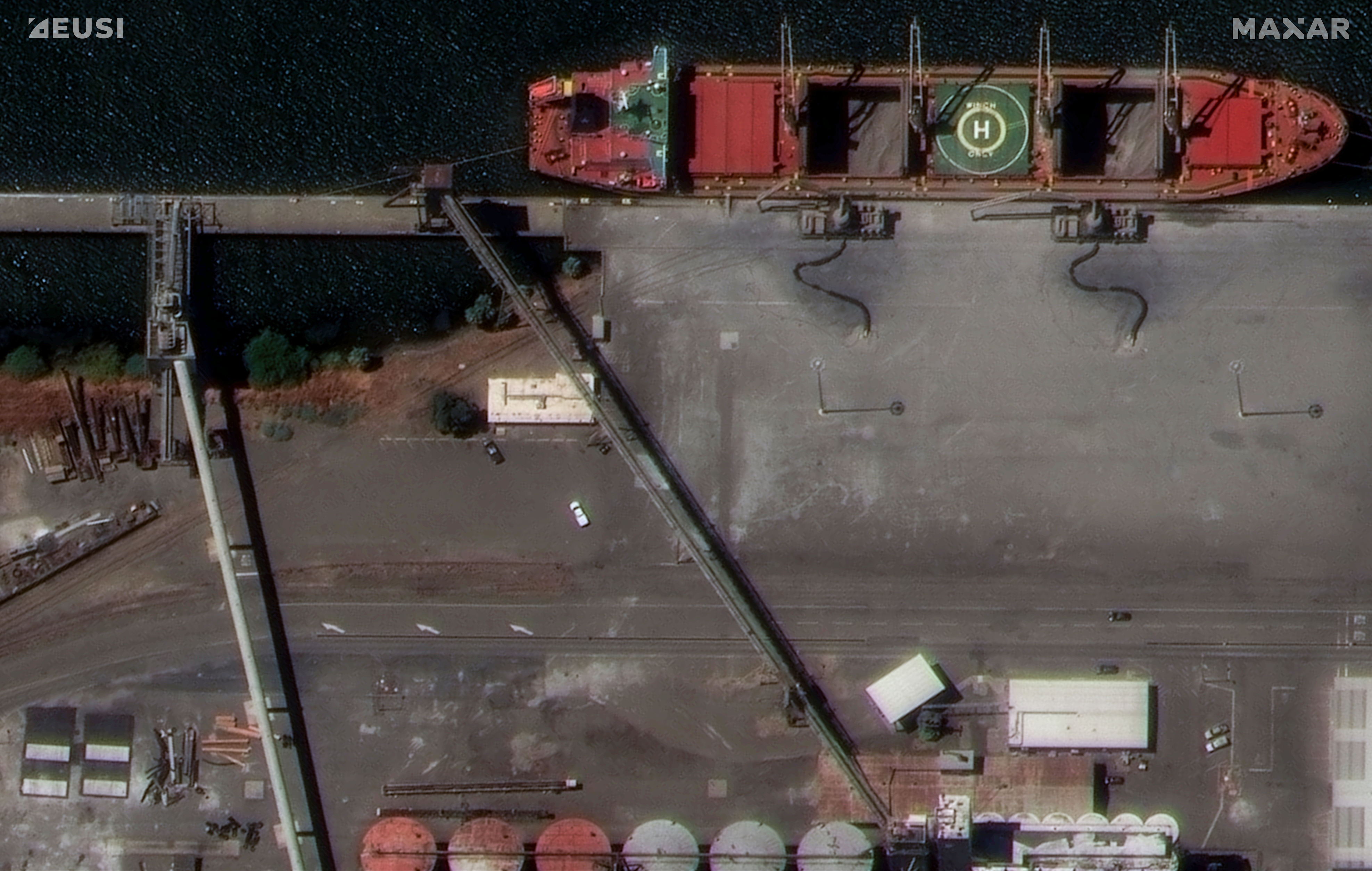
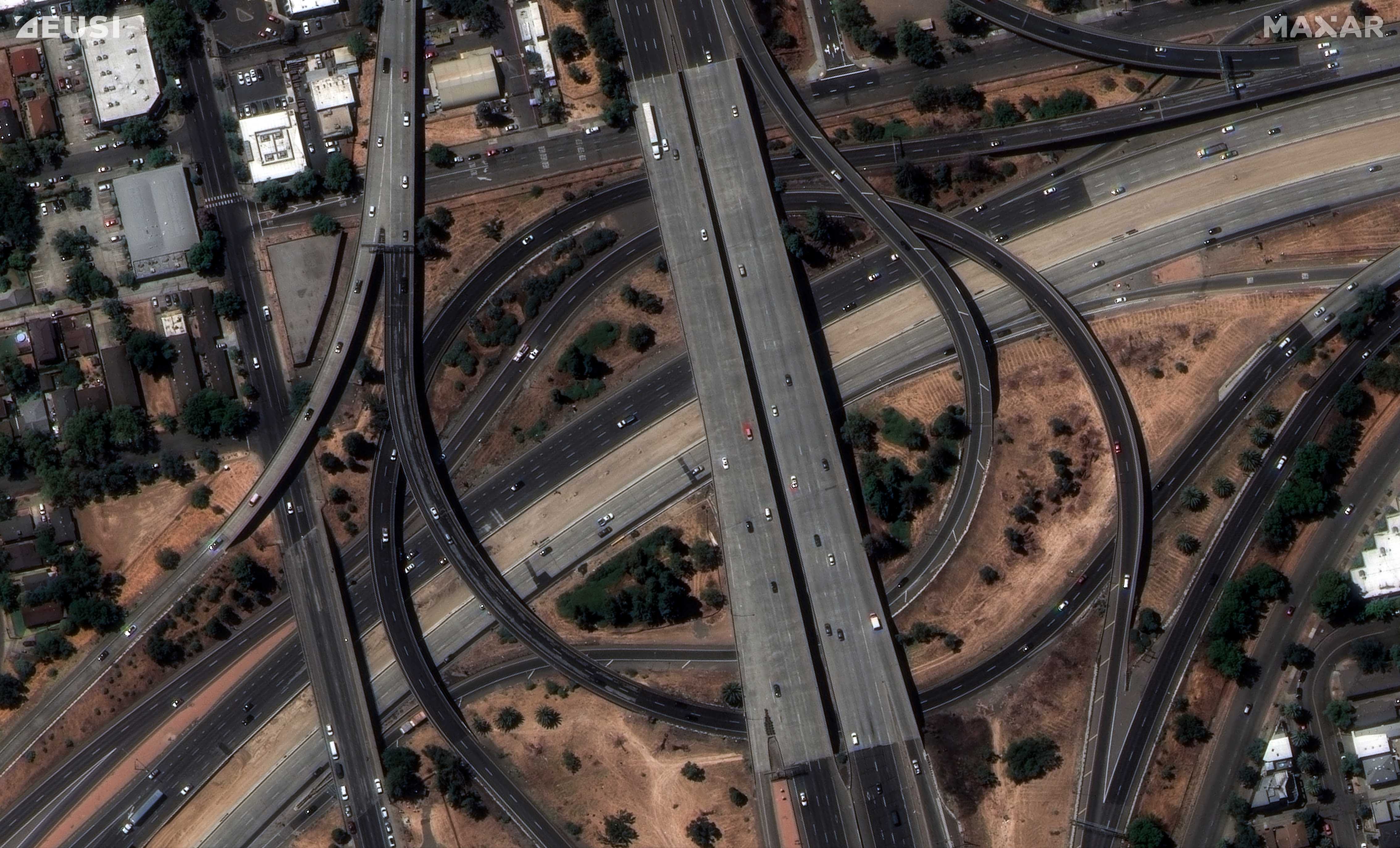
Munich, Germany – Maxar Intelligence released the first images collected by the highly anticipated WorldView Legion satellites. These images were collected by one of the WorldView Legion satellites and include detailed images of key urban areas, transportation routes and logistics hubs in San Francisco and Sacramento, California, underscoring the value of high-resolution satellite imagery for precision mapping, site monitoring, geospatial analytics and other important use cases.

The first two of six planned WorldView Legion satellites were successfully launched into orbit on 2 May of this year. As Maxar continues extensive testing and calibration on both of the first two WorldView Legion satellites during the commissioning phase, European Space Imaging (EUSI) will begin preparations to be ready to task the satellites for government and commercial customers. For the European and North African markets, EUSI will directly task and downlink with the entire Maxar constellation from their newly upgraded Direct Access Facility (DAF) near Munich, Germany.

“The demand for clear and highly accurate Earth intelligence has never been greater across the European Earth observation market,” said Adrian Zevenbergen, CEO of European Space Imaging. “Local downlink of data from the WorldView Legion satellites in the heart of the region will have significant impacts on high frequency, low latency data access for key users and prove crucial to aiding in European goals for safety, security and sustainability.”

The WorldView Legion satellites deliver 30 cm-class imagery with 8 multispectral bands. When the remaining four satellites are launched, the Maxar constellation will be able to collect imagery of the most rapidly changing areas on Earth as frequently as every 20 to 30 minutes.

About European Space Imaging (EUSI)

European Space Imaging (EUSI) has led the earth observation sector in Europe for more than 20 years, providing the best Very High Resolution (VHR) satellite imagery commercially available. The first to bring 30 cm resolution satellite imagery to the European market, EUSI is firmly established as the most trusted source for efficient collection and Near Real-Time (NRT) delivery of high-quality satellite imagery products. Through their ground station at the German Aerospace Center, EUSI continues to directly access the most advanced optical imagery satellites in the world and propel Europe into the next age of remote sensing technologies. For more information visit www.euspaceimaging.com

About Maxar Intelligence

Maxar Intelligence is a provider of secure, precise, geospatial intelligence. We deliver disruptive value to government and commercial customers to help them monitor, understand and navigate our changing planet. Our unique approach combines decades of deep mission understanding and a proven commercial and defense foundation to deploy solutions and deliver insights with unrivaled speed, scale and cost effectiveness. For more information, visit www.maxar.com.

Related Stories

Nature Restoration

Earth Observation Turns Ecological Targets into Measurable Outcomes: How Satellite Imagery Supports Compliance with Europe’s Nature Restoration Regulation

The EU’s Nature Restoration Regulation (NRR) entered into force in 2024 and set legally binding targets to restore degraded ecosystems across Europe. With National Restoration Plans due in September 2026, Member States face an urgent question: how do you map, plan and monitor restoration across millions of hectares in a consistent, verifiable way? Earth Observation (EO) – and Very High Resolution (VHR) multispectral satellite imagery in particular – is increasingly the answer.

Read More »
satellite antenna

EUSI Upgrades German Ground Segment to Enable Europe’s Fastest Request-to-Receive Satellite Intelligence via Secure Web and API Platform for Defence and Emergency Agencies

European Space Imaging (EUSI) announced a major upgrade of its satellite ground segment and cloud infrastructure, further accelerating its industry-leading satellite tasking and intelligence delivery capabilities through the secure ATOM™ web and API platform. The platform, in combination with EUSI’s Rapid Satellite Intelligence (RSINT) program, enables satellite tasking up to 30 minutes before image acquisition and delivery of imagery within 15 minutes of collection.


Read More »
Ship in Arctic waters

Maritime Domain Awareness in European Arctic Regions With VHR Satellite Intelligence 

With the Arctic warming nearly four times faster than the average, the ice in the High North is melting and the sea is becoming increasingly navigable. In 2025 alone, 1812 vessels entered the Arctic Polar Code area, which is a 40% increase since 2013 when data collection began. While this rise in traffic presents potential commercial opportunities, more vessels also mean more risks to people and resources.

Read More »




